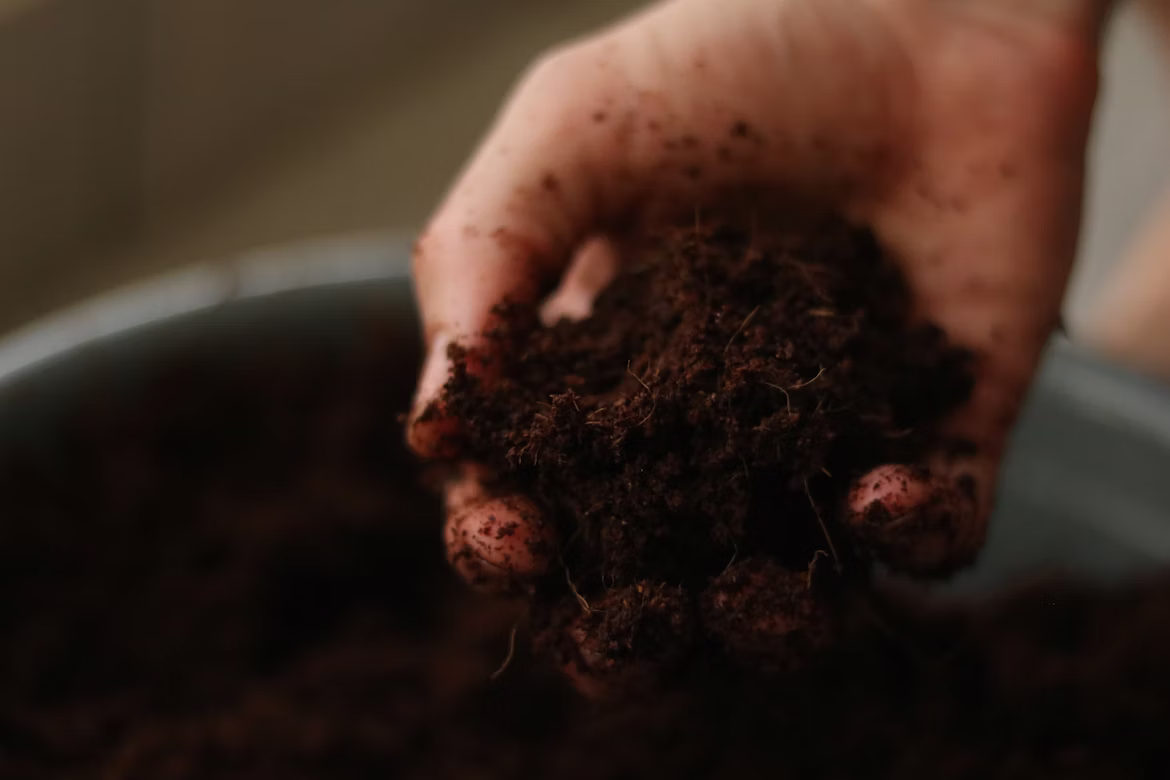
Soil
Topsoil cores and snowpack samples to detect atmospheric deposition over time. Includes baseline regional geology to distinguish natural from non-native particulates.
- 0–5 cm topsoil core
- Heavy metal panel
- Particulate identification
Research
Methodology
01
Begin every project with the community's observations. Document timing, locations, and witnessed atmospheric events before sampling design.
02
GPS-tagged sampling grid, baseline geology and prevailing-wind documentation, plus photographic record of each site.
03
Soil, surface water, snowpack (where applicable), and passive air collection — coordinated to capture cross-medium movement.
04
Samples shipped through documented chain-of-custody to RJ Lee Labs for particulate identification and elemental analysis.
05
Findings delivered in two formats — a community brief and a technical appendix suitable for regulators and peer review.
Flagship Program
In partnership with RJ Lee Labs, the Coalition collects and analyzes high-altitude aerial particulates — characterizing size, composition, and origin signatures. The goal is to understand exactly what is being deposited in our airsheds and what it implies for soil, water, and human health downstream.

Why high-altitude matters
Particulates above the local mixing layer travel hundreds of miles before deposition. Identifying their signatures is how we trace the path.
Multi-medium research
Contaminants don’t respect category boundaries. The same particulate identified in the air ends up in topsoil, in surface water, and eventually in food and drinking-water systems. We sample all of it.
Topsoil cores and snowpack samples to detect atmospheric deposition over time. Includes baseline regional geology to distinguish natural from non-native particulates.
Passive deposition collectors and active filter sampling at multiple altitudes. Coordinated with regional meteorological data to identify source-direction signatures.
Surface water, snowmelt, and rainwater samples. Tested for the same contaminants identified in airborne and soil samples to map cross-medium movement.
Request Research
Communities, tribal governments, schools, watershed councils, and individual residents can request a research consultation at no cost. We'll review the concern, outline a sampling approach, and give you an honest answer about what we can and cannot determine with available techniques.
Request a consultationFree initial consultation
No cost to communities for the scoping phase.
Sampling cost-share options
Grant assistance and donor-supported sampling for under-resourced communities.
Findings shared back
Plain-language report plus full technical appendix delivered to the requester.
Get involved
Independent science is most powerful when it's built around real community questions. Tell us what you're observing.